Growers are under increasing pressure from all sides… While technology continues to move forward at an ever-increasing pace, the time required to fully understand how to apply the technology to increase efficiency, margins, and ROI provides a challenge to growers.
Precision agriculture and evolving technologies provide an opportunity to mitigate risk and alleviate current and future farming challenges. Aerial Vantage brings a time-sensitive, cost effective and scalable solution that provides answers to support time-critical decisions. We turn data into information!
What do we offer for Precision Agriculture?
Aerial Vantage provides scalable solutions for Precision Agriculture.
Use them all, or just the parts you need.
We Collect the Data
Aerial Vantage has a fleet of drones that are easily and regularly deployed capturing aerial imagery of any location and scope. When appropriate, we support the local economy and those who have served our country through our incorporation of veterans, local pilots and additional resources to fly our missions.
We Manage the Data
Accelerate is a comprehensive geospatial intelligence platform that facilitates capturing, uploading, processing, storing and curating the data to extract maximum business value. Managing the data is critical to showing ROI from precision agriculture. Click here to get more info.
We Analyze the Data
We apply advanced analytics to the data to answer local, farm-specific questions. Our exceptional analytics capabilities include Artificial Intelligence and Machine Learning, Computer Vision and thermal imaging, to name a few. We apply the right analytics to the right data to ensure that accurate results and recommendations are provided to the grower.
Why Drones?
Drones provide a cost-effective method for collecting large amounts of data over short periods of time on a regular basis. Cheaper than manned aviation, higher resolution than satellite data, and capable of covering much more ground than terrestrial solutions, drones provide a solution to the farming challenges of today and the future.
Aerial imagery from drones combined with satellite data, ground sampling data, and other data collection methods (where required) provides the most accurate understanding of current field conditions, how to improve crop health, and even yield predictions with more certainty and accuracy.
Read Our Precision Agriculture Blog Series
Through drone precision agriculture, growers have the potential to increase crop yields and reduce water, pesticide, and fertilizer inputs.
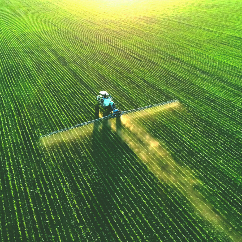
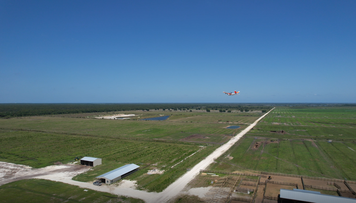
Aerial Vantage US discusses facilitating precision agriculture technologies with intelligent drone software solutions.
Aerial Vantage enables processing of aerial drone data to make managing agricultural lands more efficient, saving time and money.
Why Aerial Vantage?
Aerial Vantage is right for YOU!
Aviation
We have a strong aviation background, know how to fly. For more than 20 years, our leaders and pilots have been heavily involved and invested in crewed and uncrewed aviation. We know this space!
Drone Industry
Making progress toward substantial, scalable value from drone-acquired imagery requires knowledge about, connections to, and experience in working with the regulators (FAA) and other stakeholders. We have that background with the FAA and NASA and continue to work closely with them.
Geospatial Intelligence
You need answers today, not next week! Aerial Vantage is building the platform that facilitates expeditious data processing, storage and curation. We have been capturing and processing geospatial data on a large scale for many years across numerous industries.