Agriculture
Helping agriculture operations use less to grow more, embracing sustainability for a greener future.
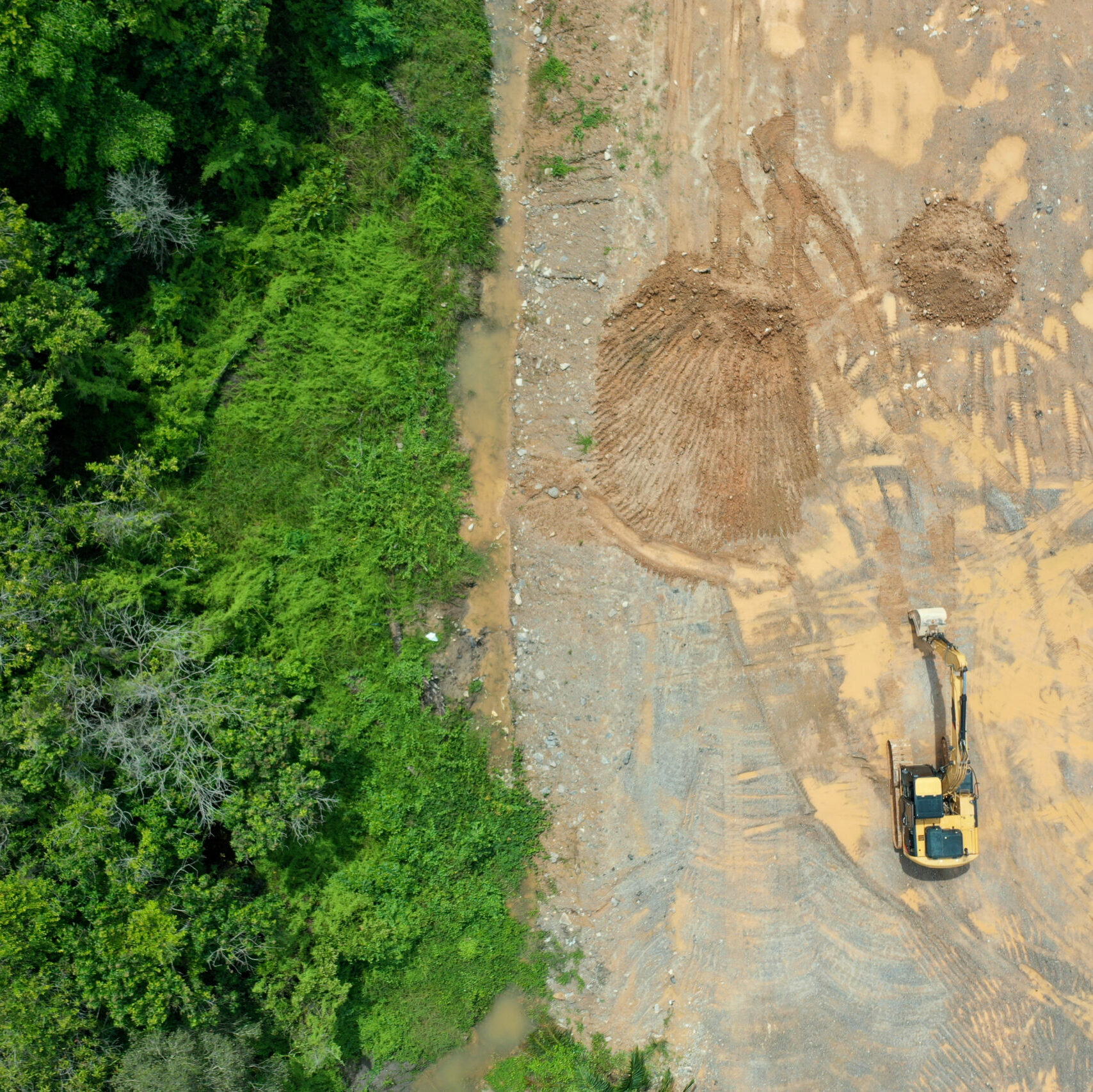
Natural Resources
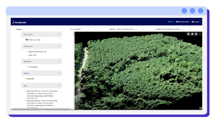
Enabling safer, more streamlined operational intelligence for forestry & mining, with an eye towards sustainability.

Energy
From site assessments to 3D mapping and thermal imaging, helping energy firms cut costs while optimizing operations for improved safety.

Municipal
We help municipalities and their partners plan and manage drone missions with structured routing, dynamic replanning, and priority-aware scheduling.