Process swiftly, store intelligently, create value consistently
Define Your Areas of Interest
Acceleratepermits Organizations to create and manage Areas of Interest. An Area of Interest is a polygon that represents an area of specific interest to an organization where projects will occur to transform aerial imagery into information. Via Accelerateorganizations can create Areas of Interest to help prioritize and organize their operations!
Manage Your Projects
Projects exist within Areas of Interest. Projects are logical units of work focused on answering a specific question based on the collection and processing of Aerial Imagery. In project creation, the user provides the project a name, description, status, data repository, and workflow. An Area of Interest can have one or more projects. Project creation ensures data is managed consistently from run to run.
Transform Your Aerial Imagery Into Geospatial Insights
Every project can have one or more runs. A run is one instance of data collection activities for a project. Data from every run is managed and processed according to a project’s definition enabling the end user to consistently process and compare data at regular intervals across their project!
What About All of That Metadata?
Accelerateis a metadata management machine! Data about the data is more important than ever, allowing users to understand data provenance and lineage information that supports overall data understanding. It does not matter whether it is the pilot that collected the data, the sensor that was used, the job performed on to transform the data, and so on… Acceleratehas you covered.
Ready to get started?
Meet with a Product Specialists to see if our technology is a good fit for your operations.
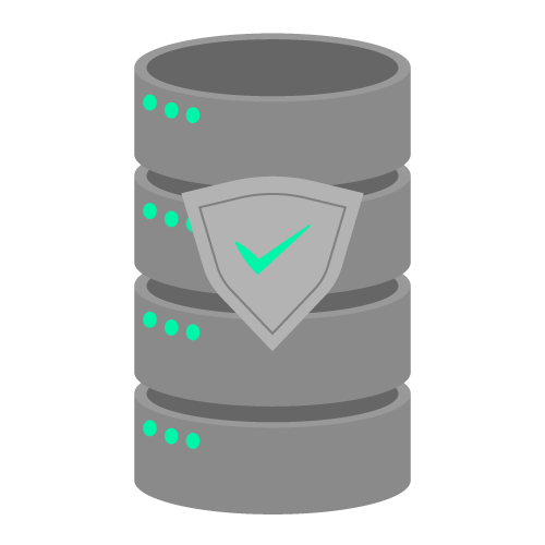
Accelerate empowers users with the ability to retrieve value from their data not just once but over time. Its secure, curated storage system can be used in the cloud or on-premise, which is essential to extracting the value within.
Simplified Data Extraction
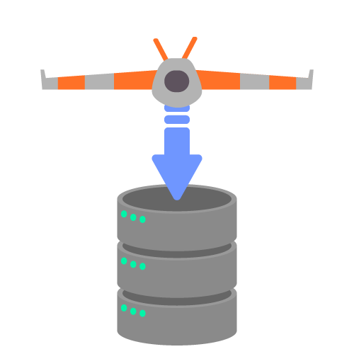
Accelerate performs the heavy lifting of receiving and processing drone-acquired data from various sensors, moving it through multiple steps to ensure proper analysis explicitly designed to meet your needs.
Web-based Interface
Accelerate is accessible via a secure, easy-to-use web application, allowing access from anywhere at anytime to make the most use of your drone-acquired data.
Flexible Reporting
Different stakeholders require different presentations of the analyses from drone-acquired data. Accelerate packages your drone data to allow your presentation tool of choice to be deployed.
Customized Alerting
Send real-time drone geospatial intelligence alerts that influence operational decisions and recommend the best course of action.
Improved Bottom Line
Save time and resources. Accelerate will fine-tune your drone data to showcase valuable insights, crossing one more task off your to-do list.
Want to learn more? Read our introduction solution sheet.